Santee Fire Pictures
Here are some pictures I took behind my mom’s house in Santee.
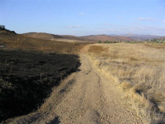
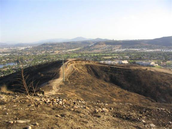
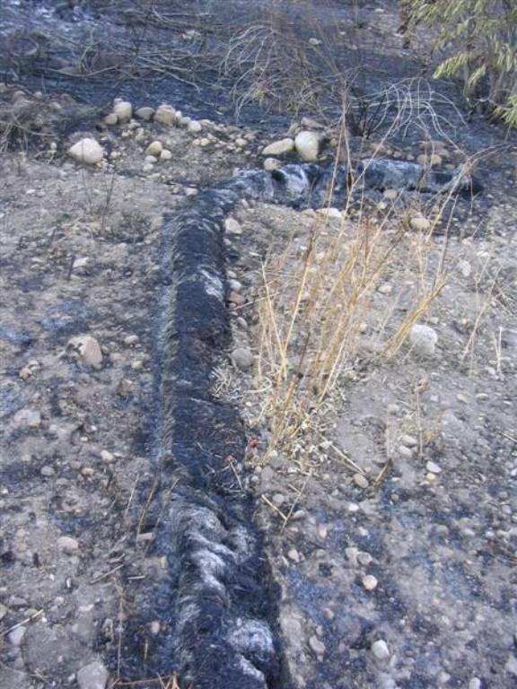
This picture shows the fire line. The left side of the path is completely charred, while the right side (toward the houses) has not been burnt. This path is the first path parallel to Medina, if you’re familiar with the hills around Santee.
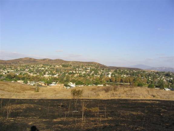
This picture shows the burnt area in the direction of my mom’s house. Her house is straight ahead, right behind the small hill. For reference (if you’re familiar with the hills around Santee), you can see the lone tree in the hills (on the left). Still standing.
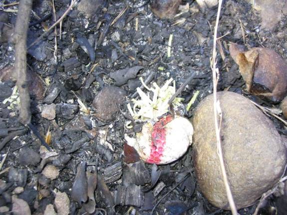
While walking up the hill, I came across a golf ball that wasn’t completely burnt. It just burst. I remember finding quite a few golf balls up here.
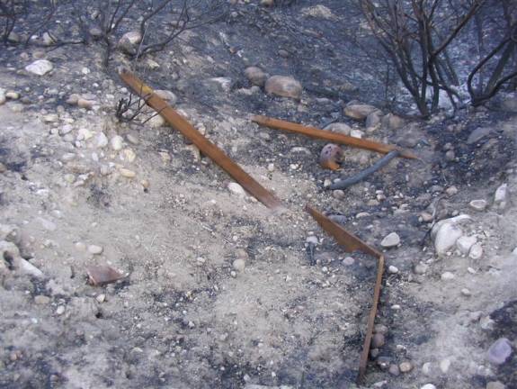
Does this look familiar? It was the old fort. The beams from the old bunk bed have rusted and are bent out of shape, but the remnants of the old fort are still here.
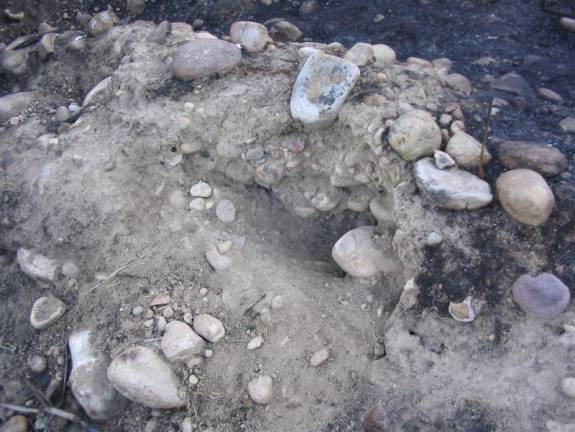
This appears to be the hole where I dug out the scorpion.
From the top of the hill, facing south (towards Mast Blvd.) The hills are all burnt.
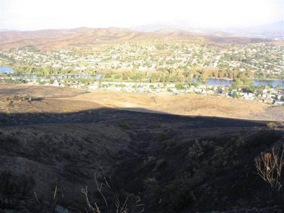
I climbed the hill at the wrong time of day, as the hill was all in shadow, although the shadow pretty much aligns with the edge of the fire. Notice the oak tree in the center of the picture. Also notice that the far mountains on the other side of the housing development are burnt as well.
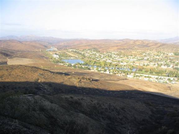
The fire really surrounded this part of Santee. I think the area around the far Santee Lakes was burnt as well.

I came across this on the way back. It was some of the only green I saw while I was up there. It shows that not everything had burnt completely.
…unlike this bush which was completely destroyed.
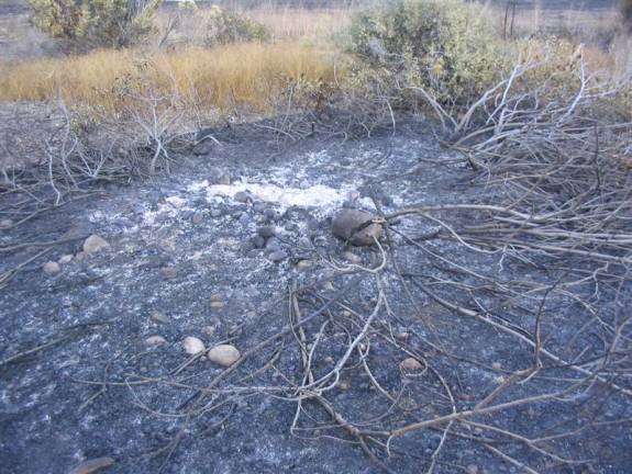
This is one last picture. I found a few of these things – just built up ash and dust. I believe the rain deposited the ash and dust. It was very soft and fun to step on.